“Imagine having a tool that not only evaluates current weather conditions but also provides soil temperatures and other vital environmental data for your day-to-day operations,” said Professor Kelsey Jencso, the W.A. Frankie Endowed Professor of Hydrology at the University of Montana and the Montana State Climatologist. “The Montana Mesonet dashboard is precisely that tool.”
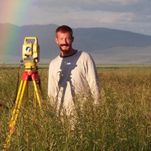
Initiated in 2016, the Montana Mesonet is a densely spaced network of weather stations across the state. It began with six stations, installed as part of a summer road trip with agricultural experiment stations. These stations measure soil moisture and temperature at five depths, along with standard weather variables such as wind speed, temperature, and humidity. This data, collected every five minutes, is accessible via a web-based application, providing real-time insights into weather conditions.
Since its inception, the network has expanded to 136 stations, thanks to partnerships with watershed groups, individual farmers, and state entities like the DNRC and Montana Bureau of Mines and Geology. A recent $21 million grant from the Army Corps of Engineers will further increase the network to over 300 stations, enhancing monitoring capabilities for soil moisture and snowpack.
“The dashboard allows us to visualize this data in near real-time,” explained Jencso. “It’s a powerful tool for documenting weather conditions, such as windstorms and drought impacts, and making this information accessible to everyone.”
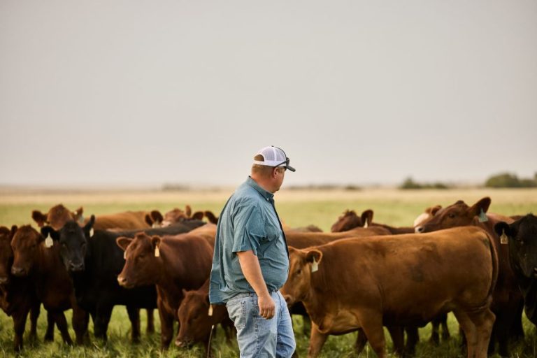
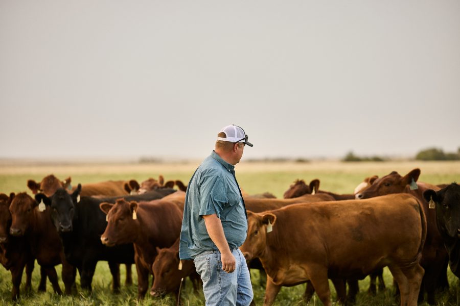
The expansion includes a focus on partnering with private landowners. “Some of our best partnerships have been with farmers and ranchers,” Jencso noted. “We’re actively looking for new partners to help us expand this network, ensuring it covers all critical areas of the state.”
Feedback from users has been instrumental in shaping the dashboard’s development. The data collected is used not only by local farmers but also by the National Weather Service, River Forecast Centers, and the Governor’s Drought and Water Advisory Committee for critical modeling and drought assessments.
One notable feature is the development of precision agricultural tools, such as growing degree models for crops like barley, wheat, and sugar beets. Farmers can input their planting dates and track accumulated degree days, providing valuable insights into crop growth stages.
The dashboard also offers cattle stress calculations based on wind speed and humidity, alongside real-time soil water potential measurements. Integrating NASA satellite data further enhances its utility, providing a comprehensive view of vegetation conditions.
“The consistency and reliability of this data make it invaluable for farmers and ranchers,” emphasized Jencso. “It’s a critical resource for reporting losses and accessing federal assistance programs.”
This summer, the Mesonet team is busy installing 38 new stations, focusing on areas like the Fort Peck Reservation, Fort Belknap, and the Hi-Line, with plans to expand further into southeastern Montana next year.
“The Montana Mesonet dashboard is a tool for making more informed decisions,” concluded Jencso. “As we look to the future, we anticipate rolling out new tools for predicting surface water availability and precision irrigation.”
For more information, visit the Montana Climate Office website and explore the potential of the Montana Mesonet dashboard.
Montana Climate office: https://climate.umt.edu
Montana Mesonet Dashboard: https://mesonet.climate.umt.edu/dash/
Montana Mesonet Project: https://climate.umt.edu/mesonet/umrb/
Montana Climate office Drought Data: https://climate.umt.edu/drought/