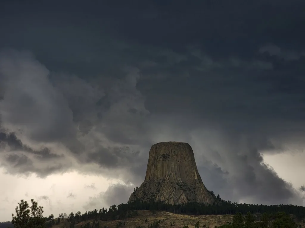
HULETT, WY – The National Weather Service in Rapid City has confirmed a tornado that damaged structures at Devil’s Tower National Monument in August.
The Weather Service says the tornado touched down to the east of Devil’s Tower near Warren Peak on August 19th, 2024.
The super-cell formed just to the west of Crook County, WY, moved east/southeast and brought large hail, high winds and widespread damage to Devils Tower National Monument.
The report from the National Weather Service – “As the storm continued to track east, a rain wrapped tornado developed halfway between Hulett, WY and Warren Peak. Numerous pine trees were either uprooted or snapped in half along a path just over 2.5 miles long.”
“The estimated damage width was over 1/4 of a mile in some areas, although some of this damage on the southern edge of the tornado was more consistent with straight line winds, so the estimated maximum tornado width was 300 yards. The tornado was on the ground for approximately 10 minutes with a speed of approximately 15-20 MPH.”
An EF1 rating indicates wind speeds of 86-110 MPH.


