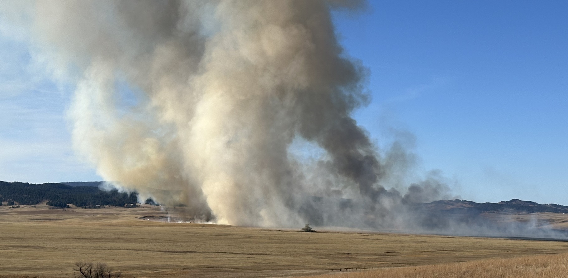
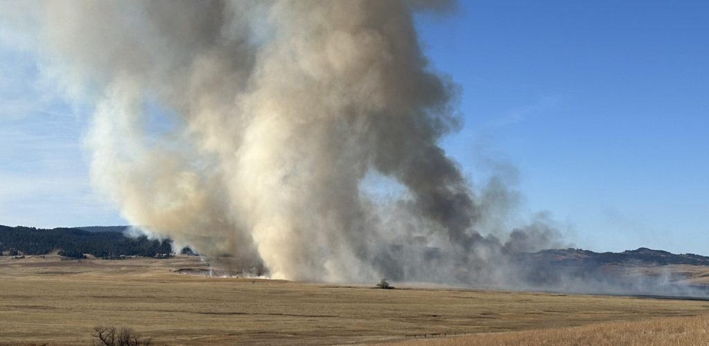
STURGIS, S.D. – If you saw smoke coming from the Fort Meade Recreation Area earlier today, you may have wondered if there was a fire.
There was a fire, but this was one was a prescribed burn conducted by the Bureau of Land Management.
Smoke from the 240-acre burn was visible from I-90, State Highway 34, State Highway 79 and the City of Sturgis. The burn was located near the Fort Meade Reservoir north of Highway 34.
The BLM says burning will be completed in one day but smoke may be visible for multiple days after ignition is completed.
Prescribed fire projects require an extensive planning process to determine prescription parameters based off local knowledge, subject matter experts, as well as accepted scientific and computer-based modeling.
Burn objectives are to reduce hazardous fuels accumulations, reduce ponderosa pine stand densities, and restore a more balanced pine-savanna habitat. Reducing plant litter, decadent grass, and fuel accumulations will also lower the likelihood or intensity of future wildfires in the area. Prescribed fire also encourages new growth in forage for wildlife and cattle, maintains many plant and animal species whose habitats depend on periodic fire, removes unwanted species that threaten species native to an ecosystem, and recycles nutrients back to the soil.
