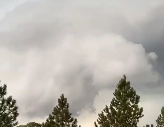
HEREFORD, S.D. – Severe thunderstorms brought large hail and even a radar indicated tornado to the Hereford area Friday afternoon.
The National Weather Service issued the tornado warning for Central Meade County around 5:15 p.m., which included Hereford, portions of Central Meade County and New Underwood.
Damage has been reported six miles north of Hereford, including broken windows in a house and vehicles and a patio was destroyed. No injuries have been reported.
The storm started gaining steam north of Mud Butte and Highway 212, and moved south into Meade County.
Reports of 80-90 MPH and 2” hail have been reported near the Hereford area.
The storm, however, lost some of its power as it approached New Underwood.